
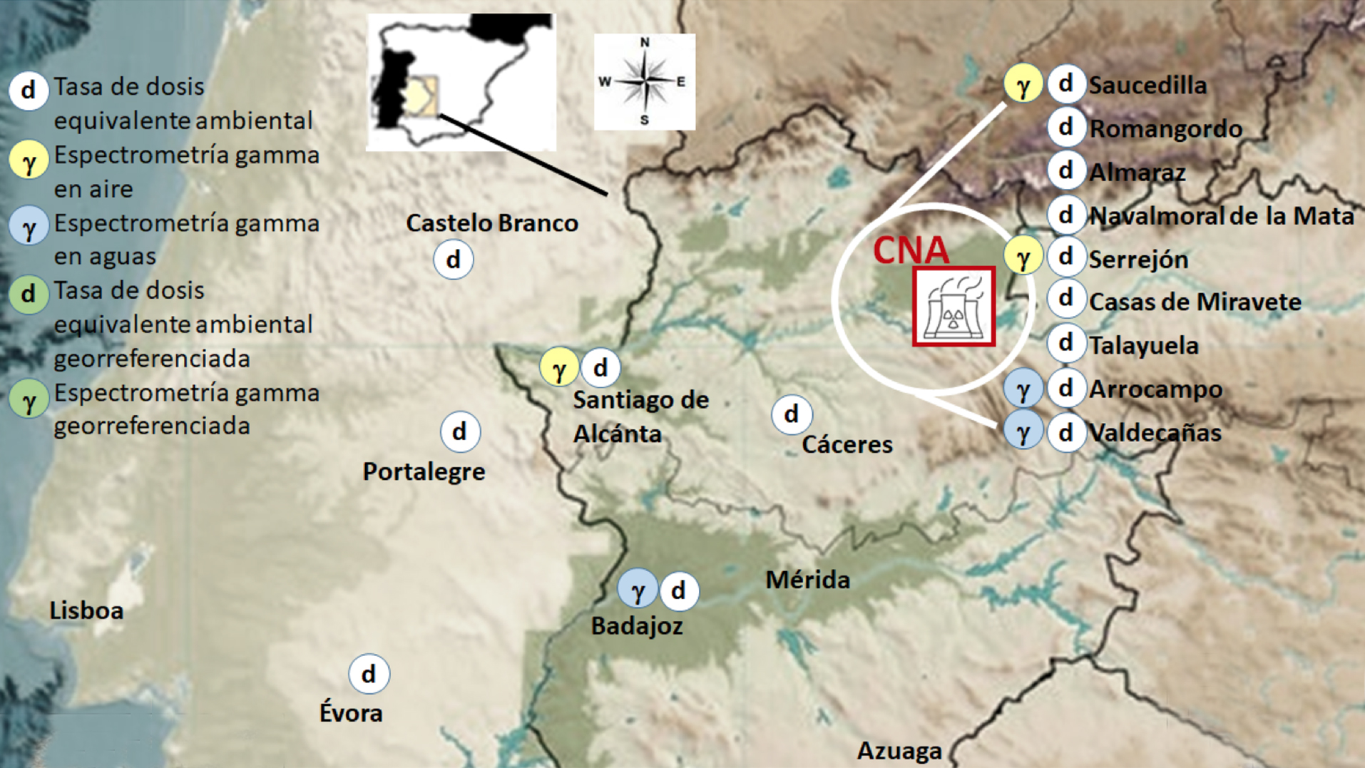
The purpose of this article is to show the current state of RAREx which, after 30 years of design, management, development and innovation, has significantly increased the geographic areas to be monitored and its analytical capabilities. The RAREx is integrated by fixed stations for atmospheric and water monitoring and by two mobile systems, a land vehicle and a remotely manned aerial vehicle, which allow the monitoring of different radiological parameters along established routes or in specific locations where their action is needed.
Obviously, the new developments have implied a substantial increase in the volume of data daily recorded and the necessary development of sophisticated software applications for their proper management and essential interpretation. Likewise, it is vital to establish a reliable and robust quality management system that guarantees both its integral operation and the veracity of the information provided. For this reason, in this article, succinctly, the main advances incorporated into RAREx in these two aspects will be presented.

